Al Quds, the Rights and Reality: Documenting the Properties and Protecting the Heritage
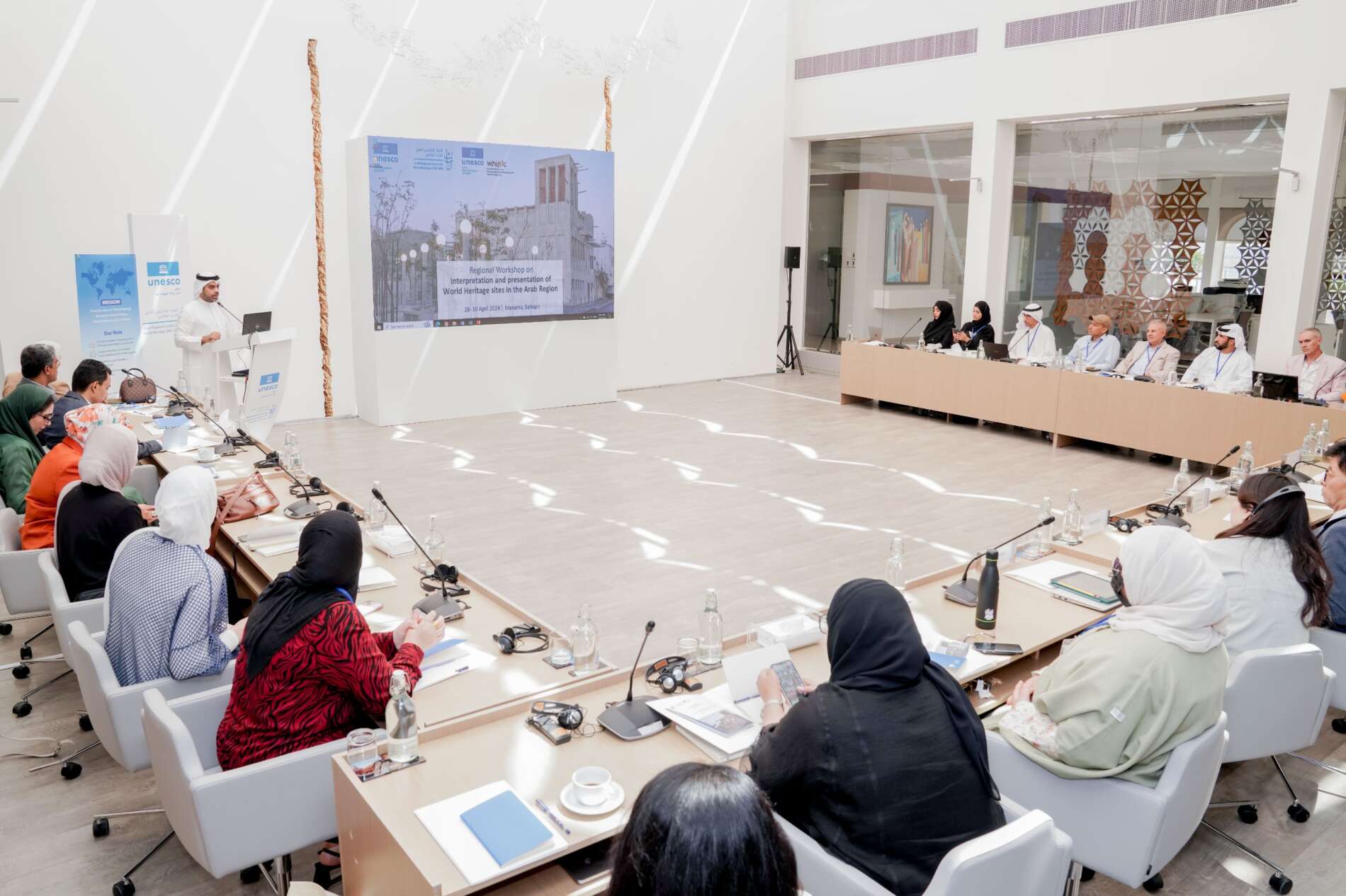
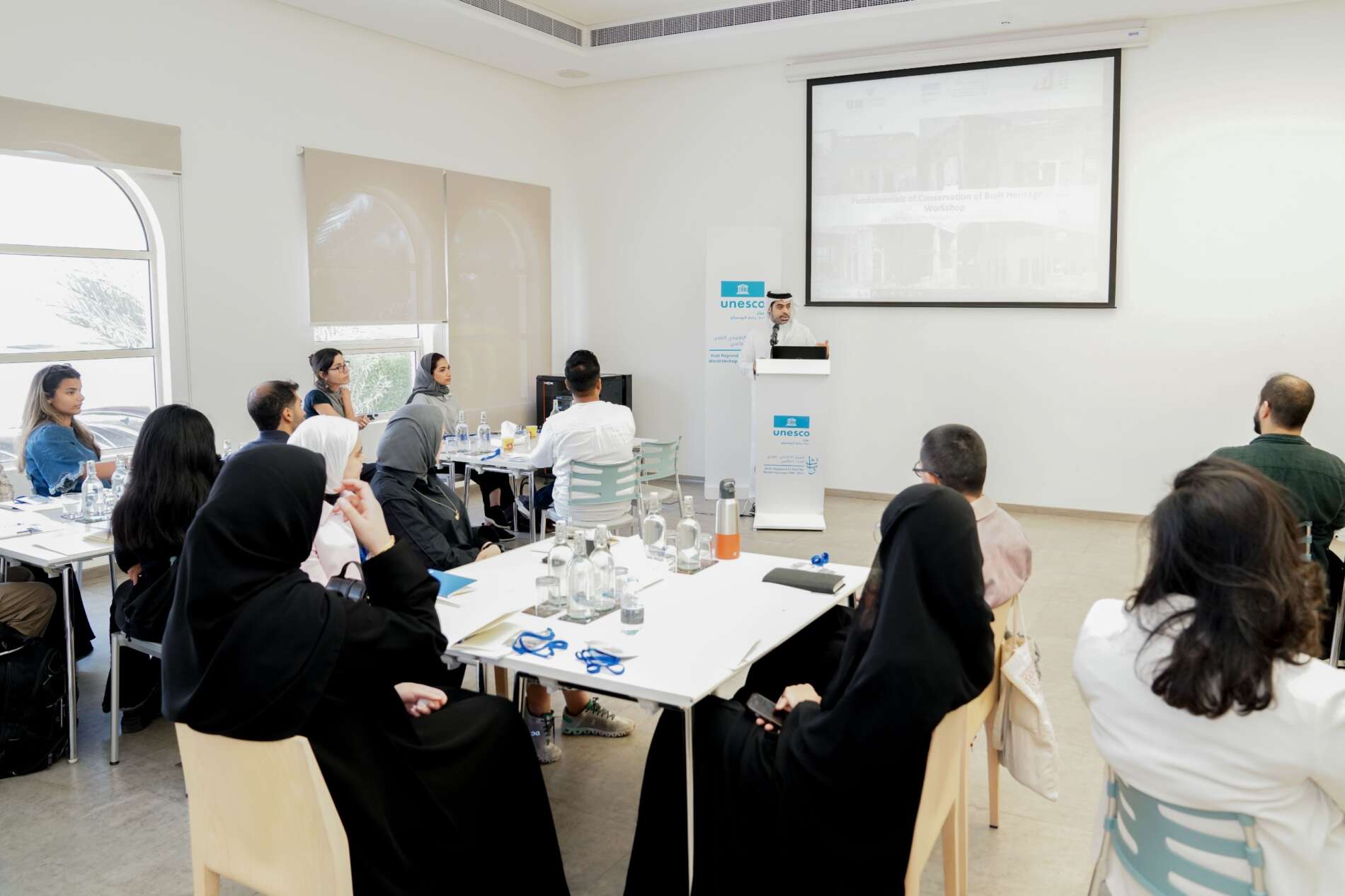
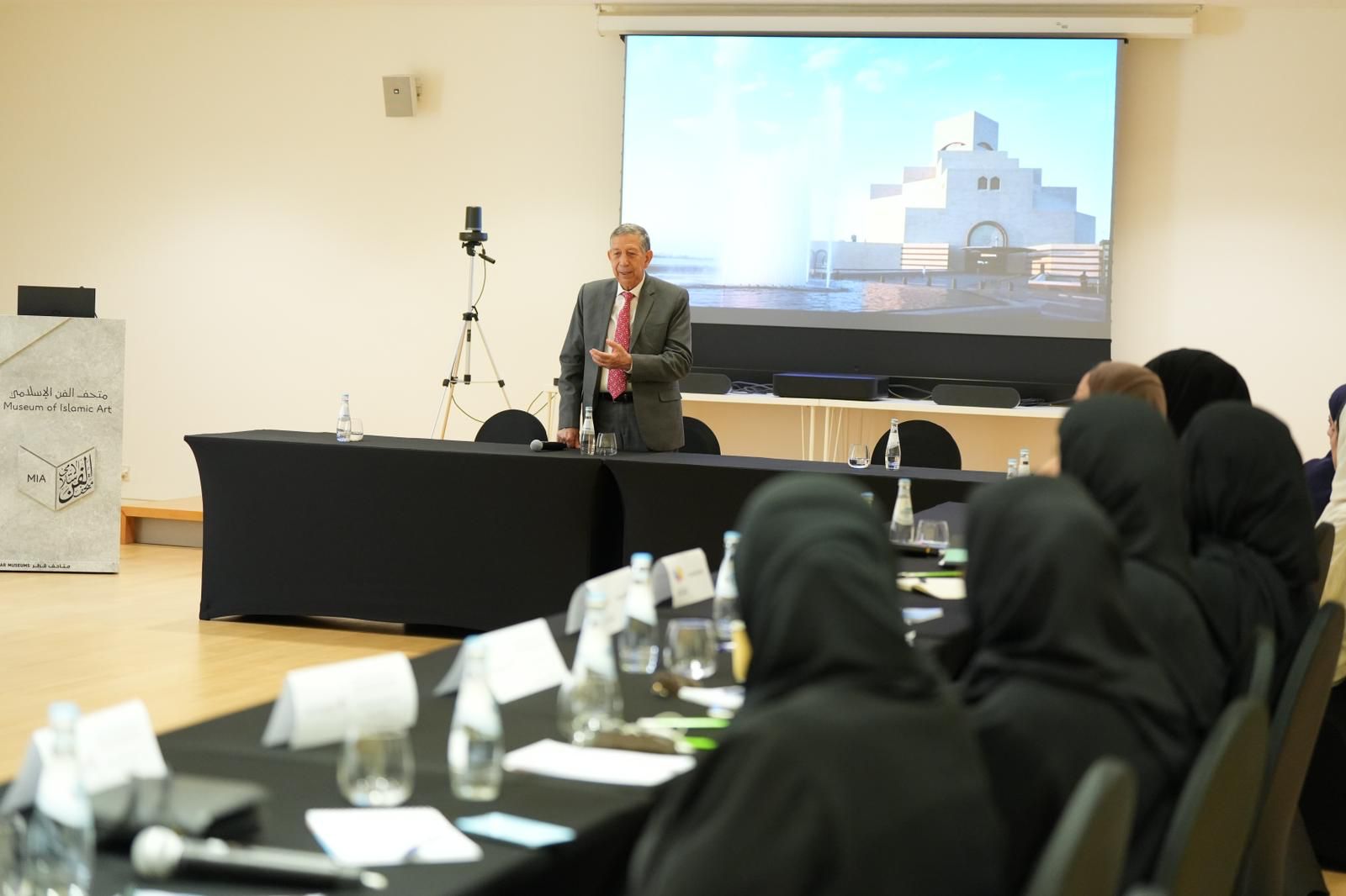
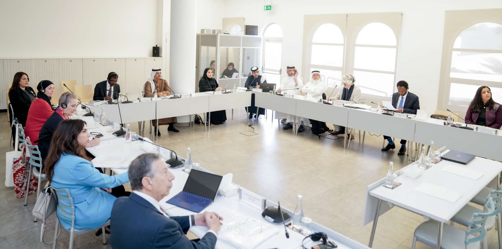
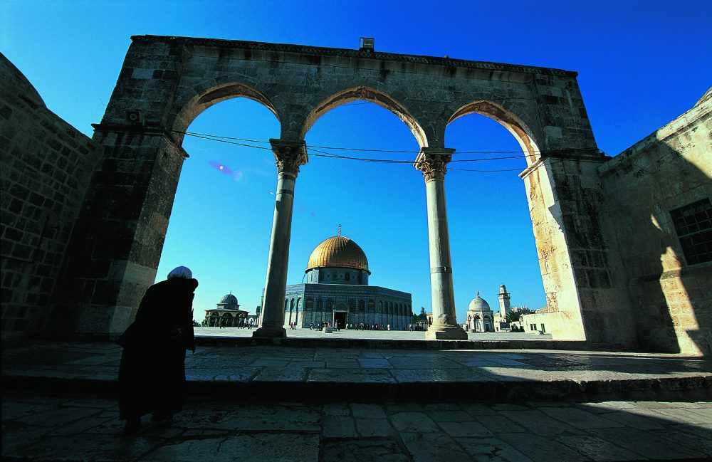
This week, the Arab Regional Centre for World Heritage hosted two speakers who held a lecture on 14 April 2019 at its headquarters in Manama, Bahrain, entitled Al Quds, the Rights and Reality: Documenting the Properties and Protecting the Heritage. Both speakers, Mr. Zuhdi Bali, a specialist in Information Technology (IT) and Geographic Information System (GIS) at the Old City of Jerusalem Revitalization Programme, and Mr. Khalil Tufuji, Head of Geography and Maps Department at the Arab Studies Society located in Jerusalem shared valuable insight on the importance of harnessing GIS technologies and documenting the UNESCO World Heritage site of Old Jerusalem.
Mr. Al Zuhdi discussed the methodology and summarized the results of studies and surveying that has been conducted in Al Quds, while Mr. Khalil Toufakji Al Quds, the Rights and Reality: Documenting the Properties and Protecting the Heritage, presented on how the data was compiled and the difficulties that were faced during the complex process.
The speakers offered in-depth insight into the documentation techniques that are being implemented to salvage and preserve the delicate cultural heritage and urban fabric of Old Jerusalem, much of which has been facing several conservation challenges since its inscription on the world heritage list.
The following day, Mr. Zuhdi Bali held another lecture aimed at students and architects to discuss how historic on-site research and documentation technologies like GIS have helped to facilitate in the inventory, evaluation and preservation of historic sites and buildings in Old Jerusalem, and how these surveying techniques could also be used for the same purpose in Bahrain, such as Historic Manama.
Architecture is a vital component of cultural heritage, buildings and monuments can be endangered by urban encroachment and other influences that may lead to the total loss and deterioration of structures. The process of analysis, research, and the preparation of management strategies and implementation of the documentation strategy is therefore principal factors in assisting experts in understanding the spatial objects and structures, thereby ensuring that historic cities and sites are preserved for future generations to come.

